A Road in British Columbia
June 15, 2005
It started with a drive through a pastoral valley along a gentle river on highway 99 between Whistler and Lillooet, British Columbia.
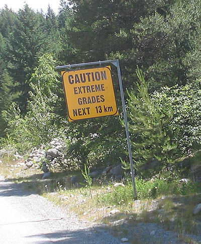
Then we turned a sharp corner and encountered this single, simple sign. There was nothing about this on the map we were using:
The next few kilometers were "straight up" a mountainside with many hairpin turns and few turnouts on an old logging road that has been "upgraded" to a provincial highway in recent years.
Much of the ride was in first gear as we strained to drag our 5,000# trailer behind us at 10-20 mph. We were relieved to reach the top (4,200 ft) without overheating our engine. All we needed to do now was go down the other side of the mountain ...
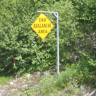
We were delighted to see this next sign even though we had not seen a "START AVALANCHE AREA" sign anywhere ....
Then we encountered this! ...
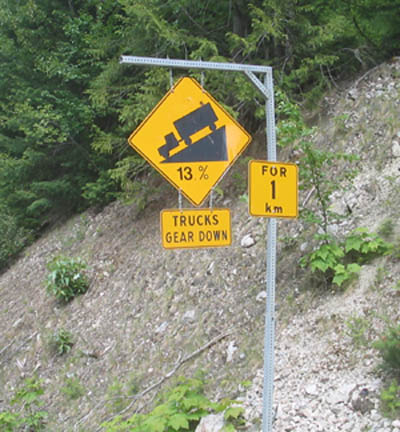
As a reference point, the grade down the notorious Grapevine on highway 5 in southern California is a mere 6%.
And then it got worse! ....
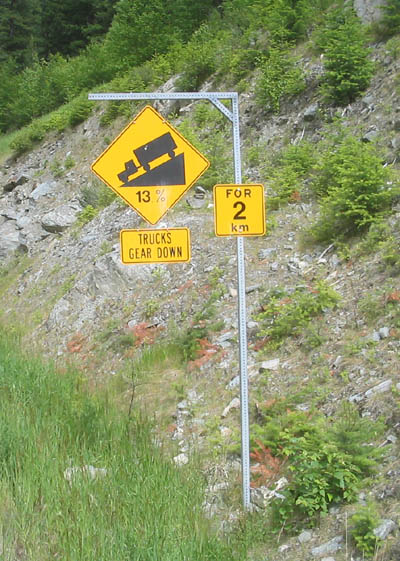
Then there was a "13% for 3 km" sign, but we could not stop to photograph it because there was a logging truck behind us.
And just when we thought it could not get any worse than that, we came to this ...
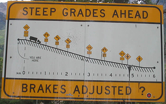
We made it down, again using first gear, but with logging trucks zipping up and down this road and no turnouts, it was nerve wracking to say the least.
We have now carefully checked the roads ahead that we plan to travel between here and Alaska and see nothing to match what we encountered above so we now feel we can handle most any road they throw at us.